

3D and 2D campus map · Nottingham, England
University of Nottingham Campus Map
Rotate the campus, zoom in on any building and click it to see what is inside.
- Drag to orbit
- Scroll or pinch to zoom
- Click a building for details
- Right-drag to pan

Jump to a building
Pick a building to fly the map to it and open its departments and services. Every place at University of Nottingham is also searchable from the map itself.
University of Nottingham
Campus directory
Faculties, departments, libraries and services across the campus. Pick one and the map takes you there, in 3D or 2D.
No matching places. Try another name.
About this map
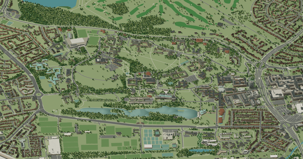
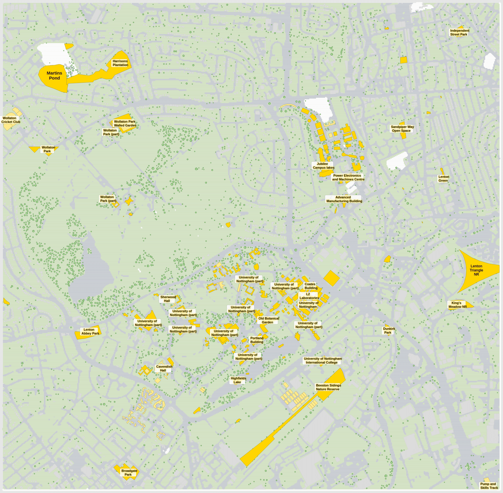
The University of Nottingham’s main campus, University Park, is set in rolling parkland west of the city centre around Highfields lake. The Trent Building, with its white Portland stone and tall clock tower, opened in 1928 and still looks down over the lawns, while the Portland Building houses the Students’ Union. Hallward Library, George Green Library and a ring of halls of residence fill the slopes, and the medical school sits beside the Queen’s Medical Centre on the eastern side. In 3D the hills and the lake explain the winding paths; the flat 2D map is the faster way to name each building.
University of Nottingham in 3D
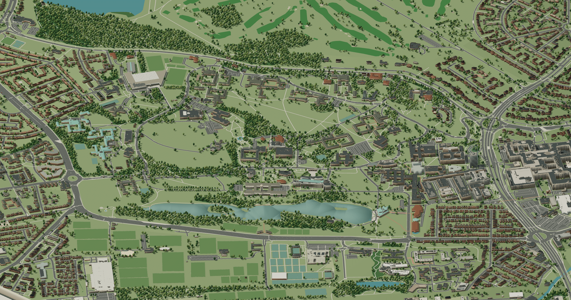
University of Nottingham 2D plan
More campus maps
- Aston UniversityBirmingham, England
- University of ManchesterManchester, England
- University of the West of EnglandBristol, England
- University of WarwickCoventry, England
- Brunel University LondonUxbridge, London
- Heriot-Watt UniversityEdinburgh, Scotland
- Lancaster UniversityBailrigg, Lancaster
- Loughborough UniversityLoughborough, Leicestershire
- Queen Mary University of LondonMile End, London
- Royal Holloway, University of LondonEgham, Surrey
- University College LondonBloomsbury, London
- University of BathClaverton Down, Bath