

3D and 2D campus map · Bloomsbury, London
University College London (UCL) Campus Map
Rotate the campus, zoom in on any building and click it to see what is inside.
- Drag to orbit
- Scroll or pinch to zoom
- Click a building for details
- Right-drag to pan

Jump to a building
Pick a building to fly the map to it and open its departments and services. Every place at University College London is also searchable from the map itself.
University College London
Campus directory
Faculties, departments, libraries and services across the campus. Pick one and the map takes you there, in 3D or 2D.
No matching places. Try another name.
About this map
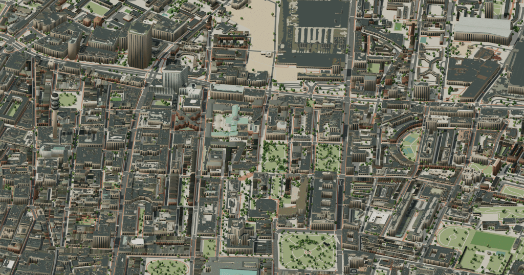
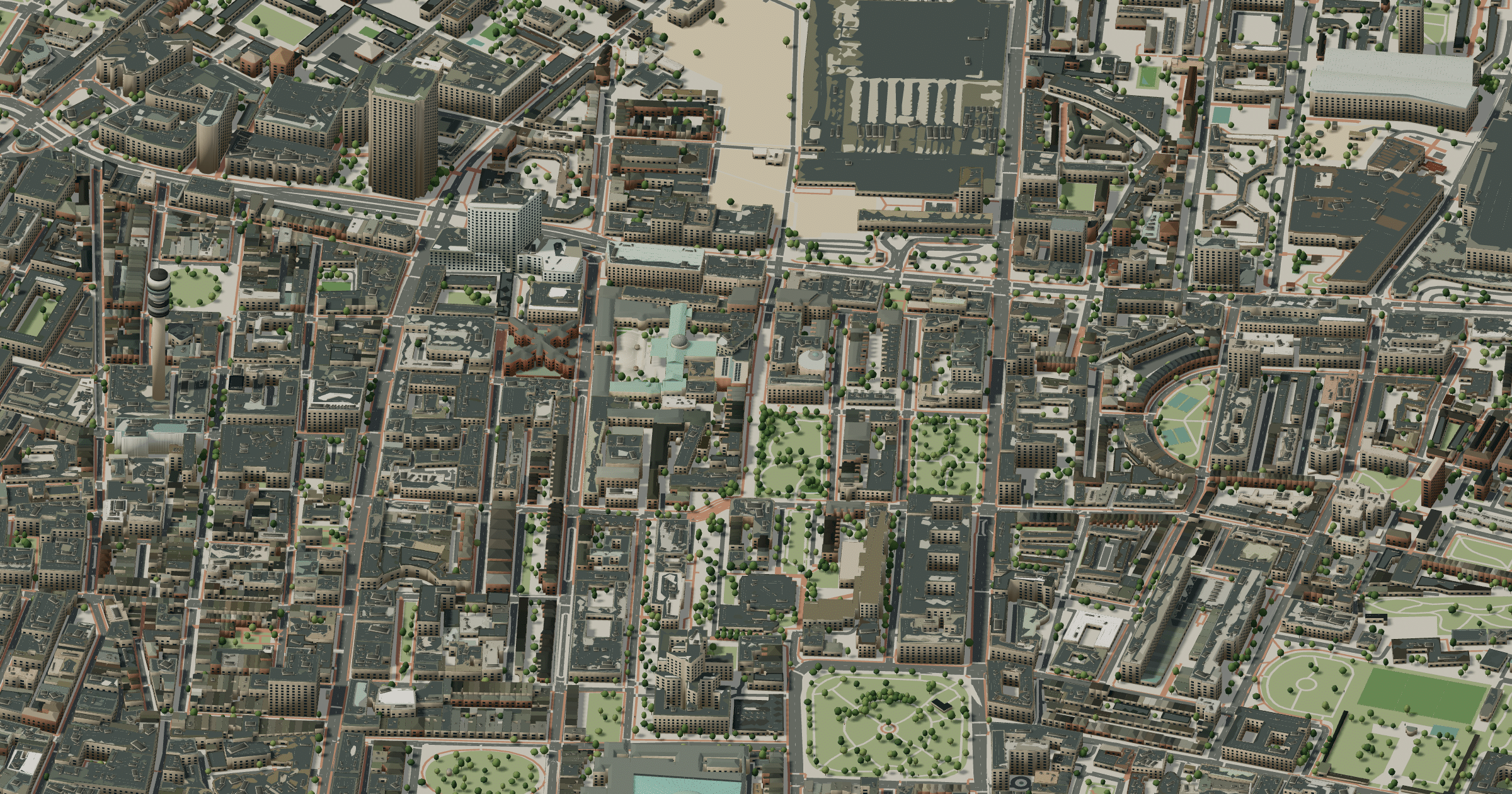
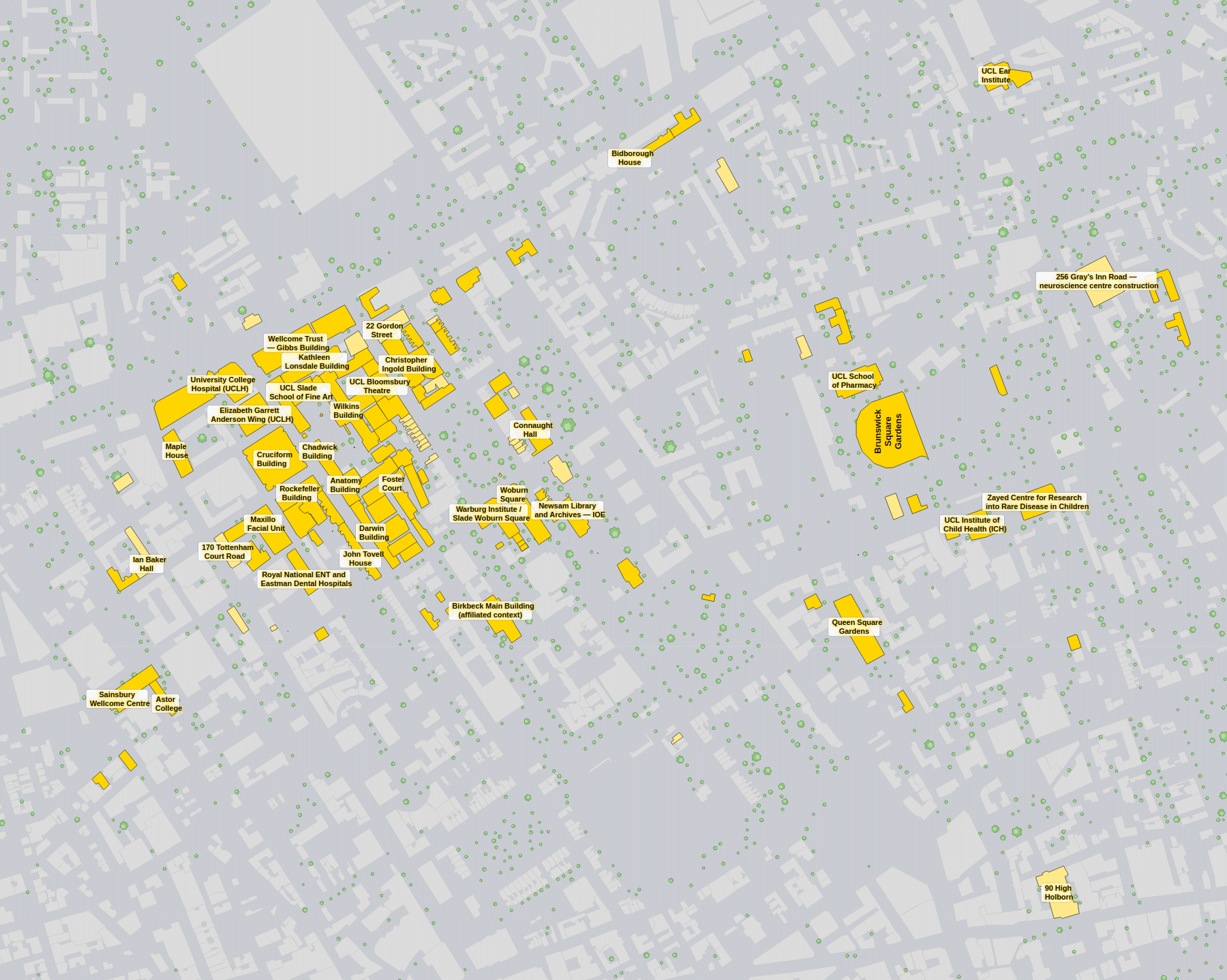
University College London was founded in 1826 in Bloomsbury, and its Wilkins Building, crowned by the Portico and dome, still faces Gower Street across the Main Quad. Around it the campus runs through ordinary London blocks: the red-brick Cruciform Building opposite, science and engineering along Gordon Street and Malet Place, and the Student Centre where Jeremy Bentham’s auto-icon now sits. Halls such as Ramsay and Connaught lie a few streets away, and the British Museum and Euston are close by. The 3D model makes sense of a university woven into city streets, while the 2D plan labels each building down to the smallest terrace house.
University College London in 3D
University College London 2D plan
More campus maps
- Brunel University LondonUxbridge, London
- Queen Mary University of LondonMile End, London
- Aston UniversityBirmingham, England
- Heriot-Watt UniversityEdinburgh, Scotland
- Lancaster UniversityBailrigg, Lancaster
- Loughborough UniversityLoughborough, Leicestershire
- Royal Holloway, University of LondonEgham, Surrey
- University of BathClaverton Down, Bath
- University of ManchesterManchester, England
- University of NottinghamNottingham, England
- University of the West of EnglandBristol, England
- University of WarwickCoventry, England